What Is LiDAR?
LiDAR, which stands for Light Detection and Ranging, is a technology that emits laser pulses to measure the distance between the sensor and objects by calculating the time it takes for the light to bounce back. This process generates detailed 3D representations of physical spaces, making it invaluable for mapping terrain, architecture, vegetation, and more. By scanning environments quickly and accurately, LiDAR provides data that is used in fields ranging from autonomous vehicles to environmental monitoring.
Why Is LiDAR Important?
LiDAR technology is crucial because it offers high-resolution, accurate spatial data that traditional methods cannot match. Its ability to capture fine details in various conditions enables more informed decisions in urban planning, agriculture, forestry, and navigation systems. LiDAR also supports innovation in autonomous driving by enabling vehicles to detect obstacles and navigate safely.
- Enables precise 3D mapping for diverse applications
- Improves safety and accuracy in autonomous vehicle navigation
- Supports data-driven decision-making in environmental and urban projects
Key Characteristics of LiDAR
- Laser Pulses: LiDAR uses rapid laser pulses that measure distances based on light reflection time.
- High-Resolution Data: Generates detailed 3D point clouds that capture shapes and surfaces accurately.
- Versatility: Applicable in airborne, terrestrial, and mobile platforms for various industries.
How LiDAR Works (Step-by-Step)
- The LiDAR sensor emits laser pulses towards a target area or object.
- The pulses reflect off surfaces and return to the sensor, which records the time taken.
- The system calculates distances and compiles point cloud data to build a 3D map or model.
Real-World Examples of LiDAR
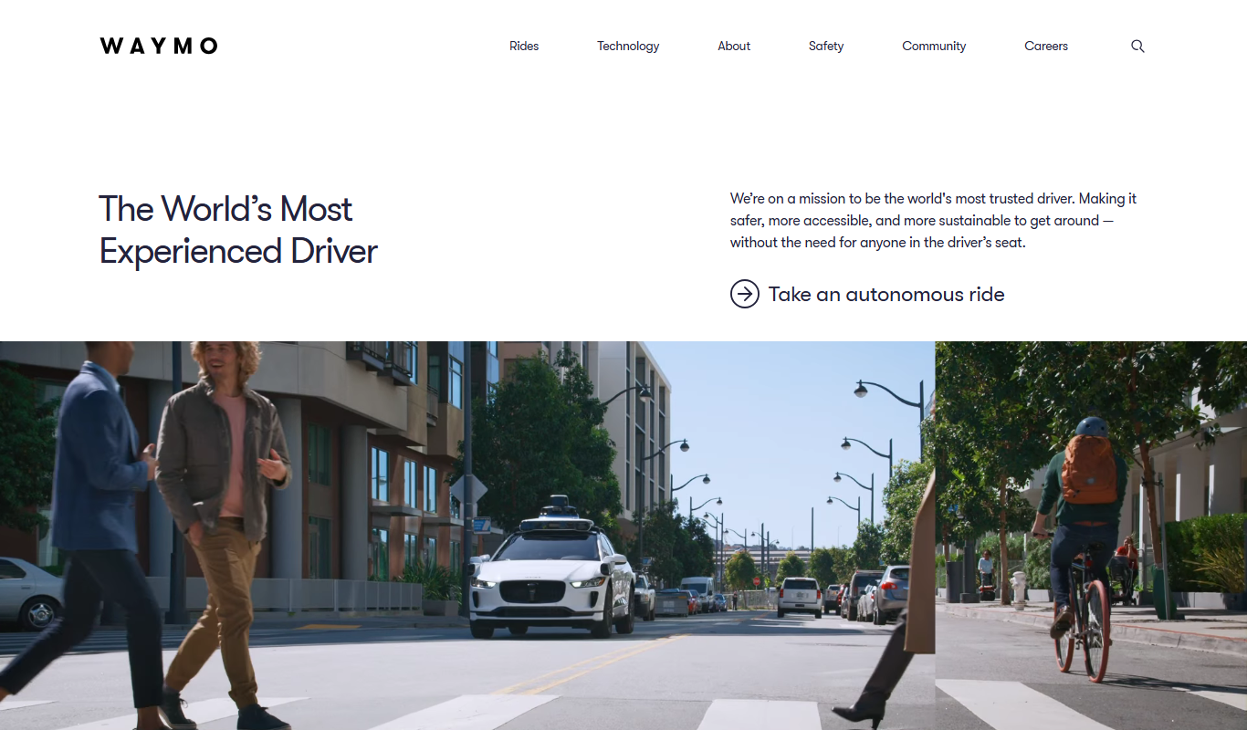
- Autonomous Vehicles: LiDAR sensors help self-driving cars detect obstacles and navigate complex environments safely.
- Archaeology and Surveying: LiDAR uncovers hidden structures beneath forest canopies and creates accurate topographic maps for research.
LiDAR in SEO, Marketing, or Business Context
In marketing and business, LiDAR’s precise mapping capabilities support industries like real estate by creating virtual tours and site models, enhancing customer engagement. It also aids in supply chain logistics by improving route planning and asset monitoring. SEO professionals in tech and innovation sectors can leverage content about LiDAR to attract traffic interested in cutting-edge technology applications.
Common Mistakes or Misunderstandings About LiDAR
- Confusing LiDAR with similar technologies like radar or sonar, which use different forms of waves.
- Assuming LiDAR data is automatically usable without proper processing and interpretation.
Related Terms
- Remote Sensing
- 3D Mapping
- Autonomous Vehicles
FAQs About LiDAR
LiDAR is widely used in automotive, environmental science, archaeology, urban planning, forestry, and agriculture industries.
LiDAR uses laser light to measure distances, while radar uses radio waves, resulting in different resolution and range capabilities.
Summary
LiDAR is a powerful laser-based sensing technology that produces detailed 3D maps by measuring distances with light pulses. Its precision and versatility make it essential in diverse fields, from autonomous driving to environmental monitoring, enabling smarter decisions and innovative solutions. Understanding LiDAR’s functionality and applications helps businesses and marketers tap into its potential for creating engaging, tech-focused content and services.