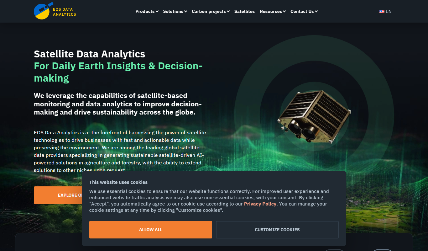
What Is Remote Sensing?
Remote sensing involves the acquisition of data about the Earth’s surface without making physical contact. This technology utilizes sensors mounted on satellites or aircraft to capture images and data, which are then processed and analyzed. The gathered information can be in the form of photographs or other data types, such as thermal or infrared readings, helping us understand and monitor environmental changes, weather patterns, and land usage.
Why Is Remote Sensing Important?
Remote sensing is crucial for a variety of fields, offering a comprehensive view of the Earth’s surface. It plays a significant role in environmental monitoring, agriculture, and urban planning.
- Enhances our ability to monitor environmental changes and natural disasters.
- Improves agricultural practices by providing data on crop health and soil conditions.
- Facilitates urban planning and infrastructure development by providing accurate land use data.
Key Characteristics of Remote Sensing
- Non-Contact Data Collection: Allows for data collection without physical interaction with the target area, making it efficient and non-intrusive.
- Wide Coverage: Capable of covering large geographic areas, providing comprehensive data for analysis.
- Multi-Spectral Imaging: Utilizes different wavelengths to gather a variety of data, from visible light to infrared and beyond.
How Remote Sensing Works (Step-by-Step)
- Satellites or aircraft equipped with sensors capture data from the Earth’s surface.
- The collected data is transmitted back to ground stations for processing.
- Analysts interpret the processed data to derive meaningful insights and reports.
Real-World Examples of Remote Sensing
- Environmental Monitoring: Satellites track deforestation and land degradation, helping in conservation efforts.
- Agricultural Management: Farmers use remote sensing data to monitor crop health and optimize resource usage.
Remote Sensing in SEO, Marketing, or Business Context
In business, remote sensing can be leveraged for market analysis and location-based services. Companies can utilize geographic and demographic data to identify potential markets, optimize supply chains, and enhance customer engagement through targeted marketing strategies. Additionally, remote sensing data can improve decision-making in industries like real estate, where accurate land data is crucial.
Common Mistakes or Misunderstandings About Remote Sensing
- Assuming remote sensing can provide real-time data without processing delays.
- Believing remote sensing is only applicable to environmental studies and not recognizing its broader applications.
Related Terms
- Geographic Information System (GIS)
- Earth Observation
- Satellite Imaging
FAQs About Remote Sensing
Remote sensing typically uses satellites and aircraft equipped with cameras and sensors to capture data from the Earth’s surface.
Data from remote sensing is processed and analyzed using specialized software to extract meaningful information about the observed areas.
Summary
Remote sensing is a powerful tool for collecting and analyzing data from the Earth’s surface without physical contact. Its applications span environmental monitoring, agriculture, urban planning, and business, providing valuable insights for decision-making and strategic planning. By leveraging remote sensing, we can better understand and manage our world, from natural resources to urban environments.