

From my experience with EOS Data Analytics, I found it excels at delivering precise, AI-driven insights from satellite imagery that are highly valuable for environmental monitoring and agriculture. The platform’s ability to integrate multiple satellite data sources and provide customizable dashboards makes it practical for professionals needing actionable geospatial data. However, the custom pricing model and the technical learning curve might be challenging for smaller organizations or beginners. Overall, if you require reliable satellite analytics for land use, crop monitoring, or disaster assessment, EOS Data Analytics offers a robust and scalable solution.
EOS Data Analytics Satellite Imagery Platform for Environmental Monitoring
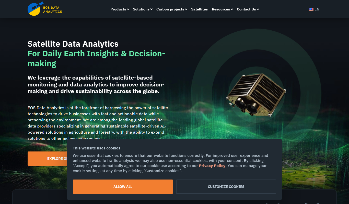
EOS Data Analytics is a cloud-based platform that provides AI-powered satellite imagery analysis for environmental monitoring, agriculture, urban planning, and disaster management.
- Best for
- Agricultural Monitoring
- Key capability
- AI-Powered Satellite Image Processing
Do you recommend this tool?
What is EOS Data Analytics?
EOS Data Analytics is a cloud-based platform that provides satellite imagery and advanced geospatial analytics to monitor environmental and land use changes. It leverages AI and machine learning to process large volumes of satellite data, enabling users to make informed decisions in agriculture, forestry, urban planning, and disaster management.
Key features of EOS Data Analytics
The platform offers high-resolution satellite imagery, AI-powered analytics, customizable dashboards, and automated change detection tools. Users can access historical and real-time data to track environmental trends and generate actionable insights.
AI-Powered Satellite Image Processing
Automated analysis of satellite imagery using machine learning for accurate environmental insights.
Multi-Sensor Data Integration
Combines data from various satellite sources including optical and radar sensors.
Customizable Dashboards
User-friendly interfaces to visualize data and track key metrics.
Automated Change Detection
Detects and highlights changes in land use or vegetation over time.
API Access
Allows integration of satellite analytics into third-party applications.
Pros and cons of EOS Data Analytics
Pros
- Comprehensive satellite data coverage with multi-sensor integration
- Advanced AI analytics for accurate environmental insights
- Customizable dashboards for easy data visualization
- API access enables flexible integration
- Supports a wide range of industries and use cases
Cons
- Pricing is custom and may be expensive for small users
- Platform primarily web-based, no mobile app currently
- Learning curve for users new to satellite data analytics
Key use cases for EOS Data Analytics
Agricultural Monitoring
Track crop health, estimate yields, and monitor irrigation using satellite data analytics.
Environmental Change Detection
Detect deforestation, land degradation, and water body changes over time.
Disaster Management
Assess areas affected by floods, fires, or storms to support emergency response.
Urban Planning
Analyze urban expansion and land use changes for sustainable development.
Mining and Natural Resources
Monitor mining sites and natural resource extraction impacts remotely.
How EOS Data Analytics works
- 1
Sign Up and Access Platform
Create an account on EOS Data Analytics to access satellite data and tools.
- 2
Select Area of Interest
Define geographic regions to monitor using interactive maps.
- 3
Choose Analytical Tools
Apply AI-driven algorithms for crop health, land cover classification, or change detection.
- 4
Review and Export Reports
Analyze results via dashboards and export data or reports for decision-making.
Who is using EOS Data Analytics
Agricultural companies and farmers
Environmental agencies and NGOs
Urban planners and local governments
Disaster response organizations
Mining and natural resource companies
EOS Data Analytics pricing
Starter
Custom pricing
Basic access with limited data and features suitable for small projects.
Professional
Custom pricing
Expanded data access and advanced analytics for professional users.
Enterprise
Custom pricing
Full platform capabilities with dedicated support and API access for large organizations.
Plans and prices are as published by the vendor and can change. Check the official site before you buy. Open the pricing page (opens in a new tab)
Frequently asked questions about EOS Data Analytics
The platform uses data from multiple satellite sensors including optical and radar satellites to provide comprehensive analysis.
Yes, EOS offers API access to integrate satellite analytics into your existing workflows or applications.
Yes, users can access both historical and near real-time satellite imagery for trend analysis.
Agriculture, forestry, environmental monitoring, urban planning, and disaster management are primary industries served.
This tool is designed to help users accomplish its core tasks more efficiently. It is typically used by individuals or teams looking to improve productivity and workflow.
Data handling and security practices vary by provider. Review the official privacy policy to understand how your data is stored and used.
Data handling and security practices vary by provider. Review the official privacy policy to understand how your data is stored and used.
Data handling and security practices vary by provider. Review the official privacy policy to understand how your data is stored and used.
Sign in to review this tool.
Sign In to ReviewNo reviews yet
Be the first to share how this tool worked for you.
Ask about pricing, limits, or how it compares — or answer someone else.
Sign In to AskNo questions yet
Have a question about using or paying for this tool? Be the first to ask.
Featured on TiorAI



Alternative Tools
Explore similar AI tools that might fit your needs

Enterprise
Planet Labs
Planet Labs operates a large fleet of small satellites providing daily high-resolution Earth imagery accessible via web and API for industries like agriculture, environmental monitoring, and disaster response.
More AI For Data Analytics tools
Other tools in the same category, for when this one is not quite the fit.

Free Trial
ANDRE
ANDRE is an AI-powered conversational assistant that automates customer support, lead qualification, and appointment scheduling through natural language interactions.

Freemium
DataBrain
DataBrain is an AI-driven data analytics platform that helps businesses transform raw data into actionable insights through predictive analytics, customizable dashboards, and automated reporting.
Free Trial
Dflux
Dflux is an AI-driven data integration and automation platform that enables users to connect multiple data sources, build custom workflows, and automate data processes without coding.

Freemium
SayData
SayData is an AI-driven data analysis platform that enables users to extract insights from data using natural language queries, automated reporting, and customizable dashboards without requiring technical expertise.
Free Trial
Simple Analytics
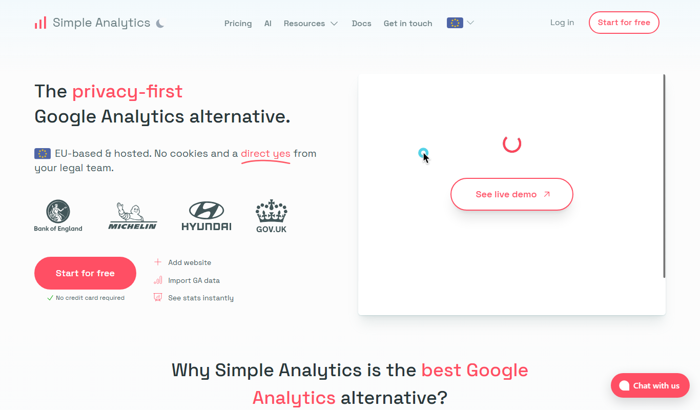
Simple Analytics is a privacy-focused web analytics tool that provides website visitor insights without using cookies or collecting personal data, ensuring compliance with privacy laws like GDPR.
Custom Pricing
Versive
Versive is an AI-driven enterprise platform specializing in risk management and fraud detection using adaptive machine learning and real-time anomaly detection.

Free
PredictEasy: NoCode ML for Google Sheets
PredictEasy is a no-code machine learning add-on for Google Sheets that allows users to build and deploy predictive models without programming skills.
Free Trial
Voice of the customer by Pivony
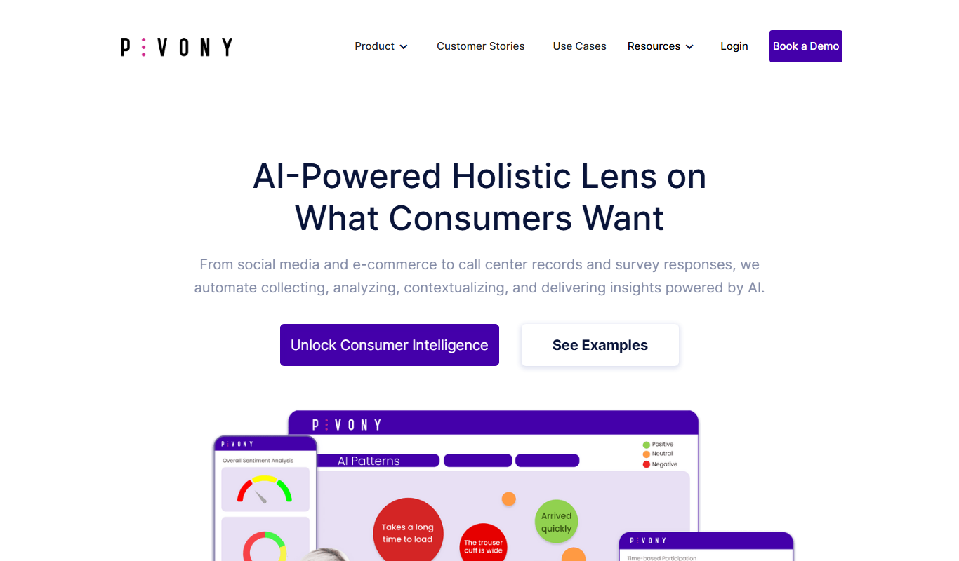
Voice of the Customer by Pivony is a web-based platform that enables businesses to collect, analyze, and act on customer feedback through customizable surveys and sentiment analysis tools.