

RoadEng Roadway Design Software for Civil Engineering and Infrastructure Projects
RoadEng is civil engineering software by Softree Technical Systems for roadway design, survey data processing and 3D terrain modeling on transportation infrastructure projects.
- Best for
- Roadway Design
- Key capability
- Survey Data Integration
Save RoadEng, follow its updates and vote on it — everything stays in your account.
Sign in or create a free account
What is RoadEng?
RoadEng is a specialized civil engineering software focused on roadway and transportation infrastructure design, developed by Softree Technical Systems. It integrates survey data processing, 3D terrain modeling and geometric road design tools to help engineers and planners create detailed road projects, from initial survey data import to final design output.
Key features of RoadEng
RoadEng offers comprehensive features including survey data import and processing, 3D terrain modeling, roadway alignment and profile design, cross-section generation, earthwork volume calculations, and detailed plan and profile drawings. Its user-friendly interface and powerful modeling capabilities make it a preferred tool for civil engineers working on transportation projects.
Survey Data Integration
Supports importing and processing of various survey data formats for accurate terrain modeling.
3D Terrain Modeling
Creates detailed 3D models of terrain to visualize site conditions and support design decisions.
Roadway Geometric Design
Tools for designing horizontal and vertical alignments, superelevation, and profiles.
Cross-Section and Earthwork Analysis
Generates cross sections and calculates cut/fill volumes to optimize construction planning.
Plan and Profile Drawing Generation
Automates creation of detailed engineering drawings for project documentation.
Pros and cons of RoadEng
Pros
- Specialized tools tailored for roadway and transportation design
- Accurate 3D terrain modeling from survey data
- Comprehensive earthwork volume calculations
- Detailed plan and profile drawing generation
- Strong integration with Bentley Systems ecosystem
Cons
- Windows-only platform limits cross-platform use
- Pricing details require direct contact with vendor
- Steeper learning curve for users new to civil engineering software
Key use cases for RoadEng
Roadway Design
Design and model roadways with precise geometric and topographic data integration.
Survey Data Processing
Import and process survey data to create accurate terrain models for infrastructure projects.
3D Terrain Modeling
Generate 3D models of terrain to visualize and analyze site conditions.
Transportation Engineering
Plan and design transportation infrastructure including highways, streets, and intersections.
Cut and Fill Analysis
Calculate earthwork volumes for excavation and embankment to optimize construction costs.
How RoadEng works
- 1
Import Survey Data
Load raw survey data from various formats to create a base terrain model.
- 2
Create Terrain Model
Generate 3D terrain surfaces from survey points for accurate site representation.
- 3
Design Road Alignment
Define horizontal and vertical alignments for the roadway using geometric design tools.
- 4
Generate Cross Sections
Produce cross-sectional views along the alignment to analyze earthwork and grading.
- 5
Calculate Earthwork Volumes
Compute cut and fill volumes to estimate construction material requirements.
- 6
Produce Final Plans
Export detailed design drawings and reports for construction and permitting.
Who is using RoadEng
RoadEng pricing
Subscription
Contact for pricing
Flexible subscription licensing with access to updates and support.
Perpetual License
Contact for pricing
One-time purchase license with optional maintenance and support.
Plans and prices are as published by the vendor and can change. Check the official site before you buy. Open the pricing page (opens in a new tab)
Frequently asked questions about RoadEng
RoadEng is a Windows desktop application and does not currently support Mac or web platforms.
Yes, RoadEng supports a variety of common survey data formats for terrain modeling.
Yes, Softree offers training videos, web seminars, a knowledge base and technical support for RoadEng users.
Yes, RoadEng can integrate with other Bentley infrastructure design tools for enhanced workflows.
This tool is designed to help users accomplish its core tasks more efficiently. It is typically used by individuals or teams looking to improve productivity and workflow.
Yes, it can help with that use case depending on how you configure it and what features are available. You’ll get the best results with clear inputs and a defined goal.
It depends on your specific needs and how you plan to use the tool. The official website and documentation are the best sources for the latest details.
It depends on your specific needs and how you plan to use the tool. The official website and documentation are the best sources for the latest details.
Conclusion
Survey data from various formats is loaded first to create a base terrain model, and 3D terrain surfaces are generated from the survey points. Horizontal and vertical alignments are then defined with geometric design tools that also handle superelevation and profiles. Cross sections are generated and cut and fill volumes calculated for construction planning. Final design drawings and reports are exported for construction and permitting.
The software is developed by Softree Technical Systems. It targets civil engineers, transportation planners and surveyors, and its transportation work covers highways, streets and intersections. Pricing details require direct contact with the vendor.
Sources
Sign in to review this tool.
Sign In to ReviewNo reviews yet
Be the first to share how this tool worked for you.
Ask about pricing, limits, or how it compares — or answer someone else.
Sign In to AskNo questions yet
Have a question about using or paying for this tool? Be the first to ask.
Featured on TiorAI


More AI Developer Tools tools
Other tools in the same category, for when this one is not quite the fit.

fal.ai
fal.ai is a generative media inference platform for developers: call 1,000+ image, video, audio and 3D models via one API, or deploy and train on serverless GPUs.

BasicAI
BasicAI offers a data annotation platform and managed data labeling services for AI training data, from images and video to 3D point clouds and language model data.

HumanLayer
HumanLayer is a multiplayer coding agent IDE and cloud that brings agent sessions, plan artifacts and code diffs together for teams to collaborate and ship.

UltiHash
UltiHash is S3-compatible object storage built for AI workloads, available as a managed serverless service or self-hosted, with built-in deduplication.
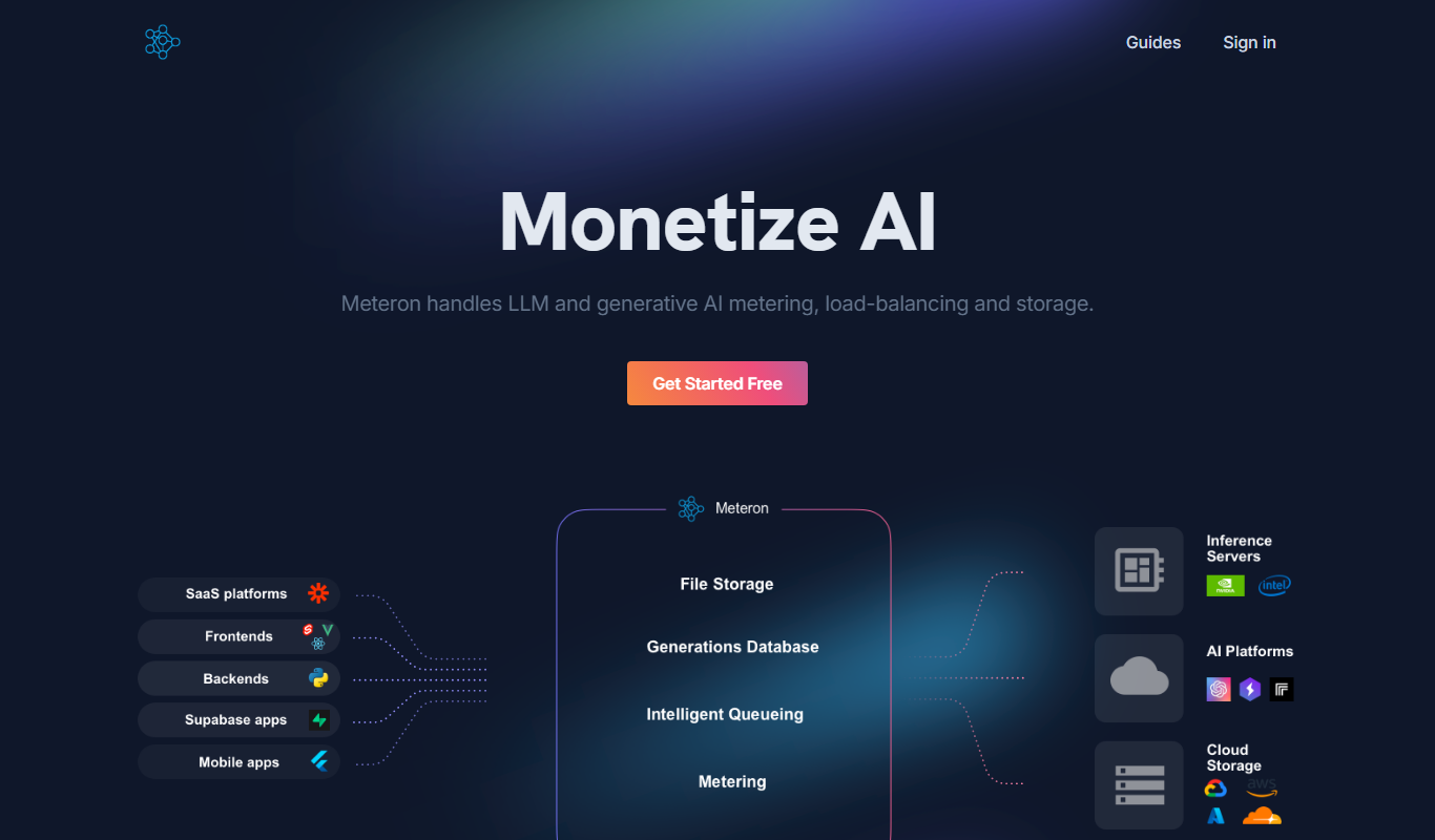
Meteron AI
Meteron handles LLM and generative AI metering, load-balancing and storage, so AI app builders can charge users per request or per token.

SingleAPI
SingleAPI converts any website into an API in seconds: a GPT-4 powered service that navigates the web and extracts data as JSON, with built-in data enrichment.
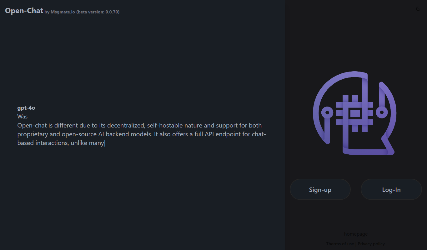
msgmate.io
msgmate.io runs Open-Chat, a federated, self-hostable LLM chat platform in beta with support for proprietary and open-source models and a full chat API.

BuildShip
BuildShip is a visual AI workflow builder to automate complex backend tasks, develop tools for AI agents and spin up APIs, with no-code ease and full code access.