

Interactive Geography Learning with Seterra - Online Map Quiz Tool
Seterra is an interactive online platform offering geography quizzes to help users learn countries, capitals, flags, and maps through engaging games available on web and mobile.
- Best for
- Geography Education
- Key capability
- Extensive Quiz Library
Save Seterra, follow its updates and vote on it — everything stays in your account.
Sign in or create a free account
What is Seterra?
Seterra is an interactive online geography quiz platform that offers a wide range of map-based learning games. It allows users to test and improve their knowledge of countries, capitals, flags, and geographical features through engaging quizzes. The tool is designed for learners of all ages and is widely used in educational settings as well as for personal enrichment.
Key features of Seterra
Seterra provides hundreds of map quizzes covering continents, countries, states, capitals, flags, and physical geography. It features timed quizzes, multiple difficulty levels, and supports multiple languages. The platform is accessible via web browsers and mobile apps, making geography learning flexible and interactive.
Extensive Quiz Library
Hundreds of quizzes covering global geography topics including countries, capitals, flags, and physical features.
Multi-language Support
Available in over a dozen languages to cater to a global audience.
Mobile Apps
Dedicated iOS and Android apps for learning on the go.
Customizable Quizzes
Users can select difficulty levels and quiz types to tailor their learning experience.
Progress Tracking
Track your quiz scores and improvement over time.
Pros and cons of Seterra
Pros
- Wide variety of geography quizzes covering many topics
- Supports multiple languages for global accessibility
- Available on web and mobile platforms
- Free version provides substantial content
- User-friendly interface suitable for all ages
Cons
- Free version includes ads which may interrupt learning
- Limited offline functionality without premium subscription
- No advanced analytics for educators in free plan
Key use cases for Seterra
Geography Education
Helps students and learners improve their knowledge of world geography through interactive map quizzes.
Classroom Teaching Aid
Teachers can use Seterra as a tool to engage students with geography lessons and assessments.
Self-paced Learning
Individuals can use the platform for self-study to enhance their understanding of countries, capitals, flags, and physical geography.
Competitive Learning
Users can challenge themselves or others to improve speed and accuracy in geography quizzes.
Travel Preparation
Travelers can familiarize themselves with maps and locations before visiting new countries.
How Seterra works
- 1
Select a Quiz
Choose from hundreds of geography quizzes based on regions, countries, or topics.
- 2
Start the Quiz
Begin the interactive quiz where you identify locations, capitals, or flags on maps.
- 3
Receive Instant Feedback
Get immediate results and explanations to reinforce learning.
- 4
Track Progress
Monitor your scores and improve over time with repeated practice.
Who is using Seterra
Seterra pricing
Free
$0
All quizzes are free.
GeoGuessr Pro
$23.88/year
Ad-free play and challenges come through a GeoGuessr Pro membership.
Plans and prices are as published by the vendor and can change. Check the official site before you buy. Open the pricing page (opens in a new tab)
Frequently asked questions about Seterra
Yes, Seterra offers a free version with access to many quizzes, supported by ads.
Offline access is available with the Premium subscription on mobile apps.
Seterra supports over a dozen languages including English, Spanish, French, German, and more.
Yes, many educators use Seterra as a teaching aid for geography lessons.
This tool is designed to help users accomplish its core tasks more efficiently. It is typically used by individuals or teams looking to improve productivity and workflow.
Some tools offer a free plan or trial with limited features. Availability can vary, so confirm on the official website.
Yes, it can help with that use case depending on how you configure it and what features are available. You’ll get the best results with clear inputs and a defined goal.
Conclusion
Each round starts by selecting one of hundreds of quizzes by region, country or topic, then identifying locations, capitals or flags on maps. Results and explanations come back immediately to reinforce learning. Difficulty levels and quiz types can be selected, and the quizzes run in web browsers as well as in iOS and Android apps.
Teachers use it as a classroom teaching aid for geography lessons, and it also supports self-paced learning. All quizzes are free, and the free version includes ads. An ad-free experience and challenges come through a GeoGuessr Pro membership at $23.88 per year.
Sources
Sign in to review this tool.
Sign In to ReviewNo reviews yet
Be the first to share how this tool worked for you.
Ask about pricing, limits, or how it compares — or answer someone else.
Sign In to AskNo questions yet
Have a question about using or paying for this tool? Be the first to ask.
Featured on TiorAI



Alternative Tools
Explore similar AI tools that might fit your needs

GeoGuessr
GeoGuessr is an online geography game that challenges players to guess their location using Google Street View images, combining fun gameplay with educational value.
More Daily Life tools
Other tools in the same category, for when this one is not quite the fit.
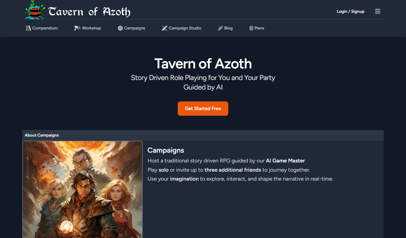
Tavern of Azoth
Tavern of Azoth is an AI-powered Dungeon Master that generates dynamic role-playing game narratives and assists both solo players and tabletop Dungeon Masters with interactive storytelling.
23andMe
23andMe is a direct-to-consumer genetic testing service that provides ancestry, health risk, and trait reports by analyzing your DNA from a saliva sample.

Cram
Cram is an online flashcard tool that helps users create, share, and study flashcards to improve memorization and learning efficiency.
Pokémon GO
Pokémon GO is a free-to-play augmented reality mobile game by Niantic that encourages players to explore real-world locations to find and catch virtual Pokémon, engage in social battles, and participate in events.

3D Aim Trainer
3D Aim Trainer is a web-based FPS aiming training tool that helps gamers improve accuracy, reaction time, and mouse control through customizable drills and performance tracking.
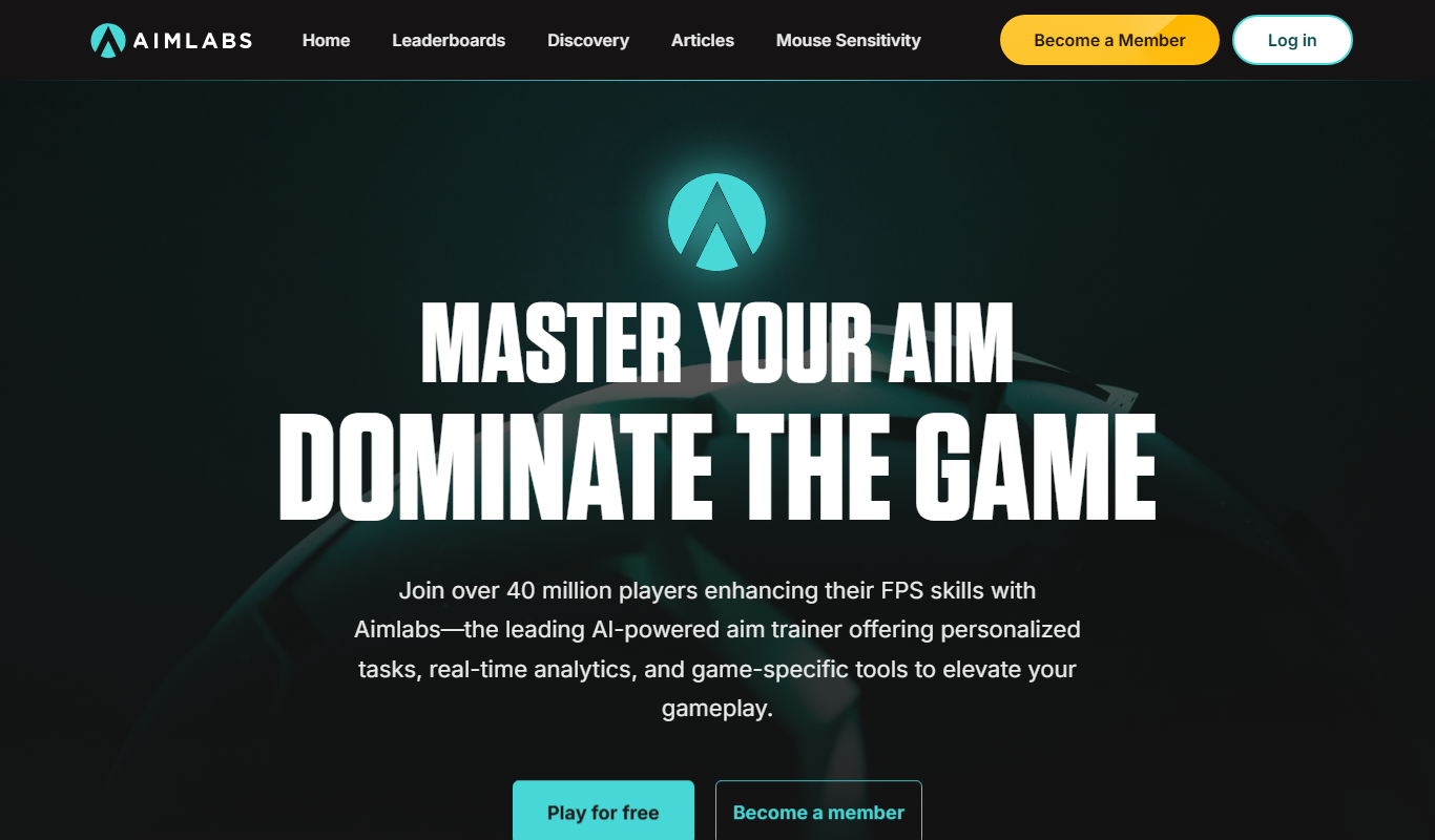
Aimlabs
Aimlabs is a PC-based aim training software that helps FPS gamers improve their aiming skills through customizable drills, real-time analytics, and realistic game scenarios.

Game Assets Generator
Game Assets Generator is a web-based tool for creating 2D game assets; it does not offer 3D models.
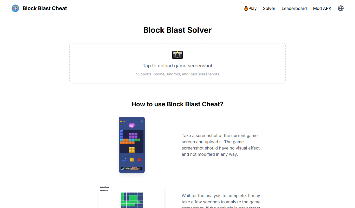
Block Blast Cheat
Block Blast Cheat is a solver: the user uploads a screenshot and it calculates the best moves.